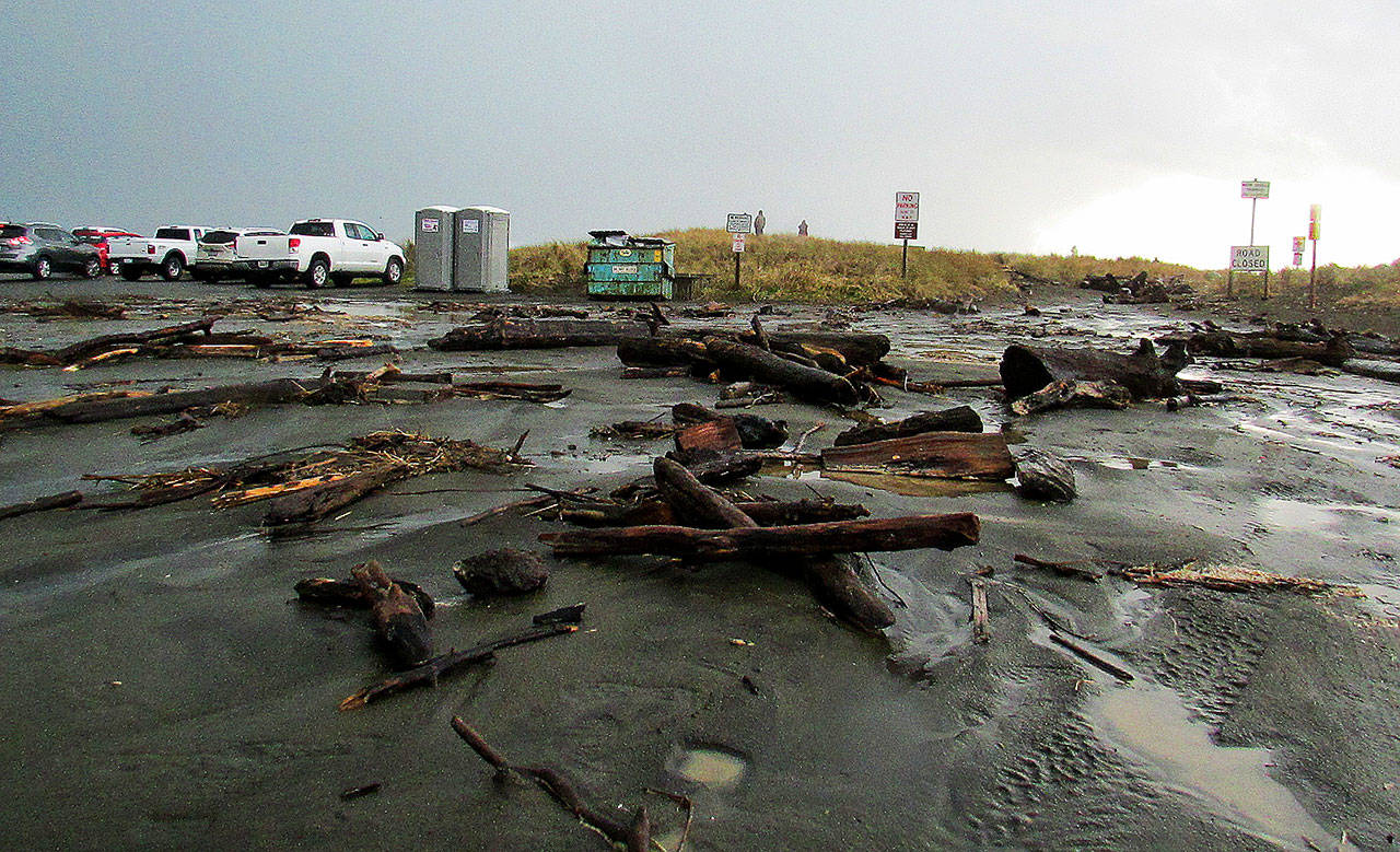
Ocean Shores braced for another breach at the North Jetty after the latest National Weather Service warning indicates the next storm system could cause swells as high as 20 feet at one of the most battered points in the past along the North Beach shoreline.
The National Weather Service issued a high surf advisory for the north and central coast, which started about 7 a.m. Wednesday, and the upgraded the alert to a coastal flood warning that will be in effect from 7 a.m. to 4 p.m. Thursday. Wave heights are expected to be as much as 25 feet Thursday afternoon, with a forecast the surf will advance 1-3 feet above the high astronomical tide levels.
These unusually large waves will run farther up the beaches. There could occasionally be splashing of waves over levees and other structures. Some beach erosion is possible, especially near the time of high tide late in the morning,” said Hannah Cleverly, deputy director of Emergency Management for Grays Harbor County.
This will affect areas such as Westport, Ocean Shores, Moclips, Taholah, and low lying areas, including Aberdeen and Hoquiam, Cleverly said. Coastal flooding is likely for around 2-3 hours before and after the time of high tide. The National Weather Service states that significant beach erosion is possible.
Ocean Shores Mayor Crystal Dingler said the city has received a warning from the U.S. Army Corps of Engineers that there is a “high probability of a breach of North Jetty and flooding north of jetty with scouring to land north of jetty on Thursday at and around high tide.”
High tide Thursday is at about 10:27 a.m. That tide is expected to exceed the “maximum astronomical tide” by about a foot, with wave height forecast to be between 20-30 fee.
“We are entering into the king tide sequence later this week and have a series of active storm fronts moving across the northeast Pacific at the moment,” Dingler said of the latest warning.
“This borders right on the triggers we have setup for identifying a high risk for erosion and coastal flooding at the Pacific Coast projects,” Dingler said.
The city has been trying to get federal and state assistance for efforts to deal with the increasing erosion problems at the jetty, and has identified the issue as its top legislative priority with the Ocean Shores wastewater treatment plant less than a quarter mile from the jetty and also potentially in danger from the high surf.
The last breach at the jetty was at the start of last December, and the waves then were not as high as what is forecast for this week.
Along with the coastal flooding threat, he National Weather Service has upgraded the high wind watch to a high wind warning for the north and central coast in effect from Thursday at 1 a.m. to about 1 p.m. Southerly wind speeds are expected to be 30 to 40 mph with gusts up to 60 mph. The strongest winds will be along the beaches and near the shoreline of Grays Harbor.
“This latest storm may prove to be the most impactful of the season so far in terms of rainfall, snow and wind for the Pacific Northwest,” said a report on Monday by the online AccuWeather Global Weather Center. A third strong system was forecast to arrive this Saturday.
The National Weather Service said heavy rain would continue through at least Dec. 22, while winds may be strong enough to down tree limbs, causing localized power outages. The most recent power outage as the newspaper was going to press occurred from Hogan’s Corner to Taholah, including out to Copalis Crossing on Monday night when the Grays Harbor PUD reported a tree “tore down both transmission and distribution lines near Moclips.” Power was restored to most areas early Tuesday morning.
Walter Weed, who tracks rainfall for the Coastal Interpretive Center in Ocean Shores, noted that while there have been a higher-than-normal number of days without rain this year — 179, compared to 151 no-rain days in 2017, the rest of December looks like it could make everyone forget those sunny days of early fall. Up to 3 inches of rains was expected throughout Grays Harbor County this week alone.
“We’re going to start getting more rain for the month of December, that’s for sure,” Weed said. The Weather Service said the Olympic Peninsula could see as much as 6-10 inches of rain as the systems move through.
“Pretty much all of Western Washington … will have the risk of flooding in low-lying and poor drainage areas and also the threat for flooding from rising creeks, streams and rivers,” said AccuWeather Senior Meteorologist Dave Houk.
Strong onshore flow is expected through the week, with another frontal system Thursday and then Saturday.
Between 4-10 inches of snow was forecast for the Olympic Mountains.