Two more “tsunami roadshows” — featuring the latest information, assistance and updates on tsunami protection efforts on the coast — visited Grays Harbor last week, with another large crowd gathering at the Ocean Shores Convention Center on Wednesday.
The city of Ocean Shores currently has an application for funding from the Federal Emergency Management Agency for the city’s first tsunami evacuation tower.
There is still just one tsunami evacuation tower on the coast, atop the Ocosta Elementary School gym near Westport. The Shoalwater Bay Tribe is in the process of building its own with the help of a $2.2 million FEMA grant.
Maximilian Dixon with the Washington State Emergency Management Division told attendees in an Aberdeen roadshow that the Shoalwater tower will hold several hundred people and will be available for use by tribal members and their non-tribal neighbors.
Aberdeen and Westport also have active grant applications with FEMA to build vertical evacuation towers, said Dixon.
About 20 towers are needed in Ocean Shores alone, by some estimates. Dixon said a study is underway to find out just how many towers are needed along the coast.
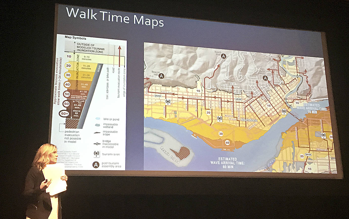
For residents across Grays Harbor, recently updated tsunami evacuation maps include the estimated time it would take to walk to safety in Aberdeen, Hoquiam and Cosmopolis, and how travel times relate to the expected arrival of the first tsunami wave.
The maps were unveiled April 5 by the Department of Natural Resources.
In a major tsunami event, evacuation routes to the safety of high ground would likely be impassable by vehicle due to downed power lines, water over roadways and damage to roadways and bridges. Because of that, evacuating by foot will likely be the best chance of reaching safety in time, according to the panel.
Hannah Cleverly, Deputy Director of Emergency Management for Grays Harbor County, said the estimated times were based on casual walking speeds, the same used to time crosswalk signals — about 2.25 mph, or a mile every 24 minutes.
When teamed with inundation maps, which show the expected arrival time and level of a Cascadia tsunami event — a worst-case scenario created by a Magnitude-9 or greater earthquake — residents can see the nearest route to high ground and how long it would take to walk there.
Evacuation routes are clearly marked on the map, and all lead toward higher ground, above the elevation of the inundation zone. Survival hinges on preparedness, knowing your routes and heading for safety as soon as the shaking stops enough you can safely move, Cleverly said.
“Remember, 60 minutes goes really fast,” she noted. “When you feel that quake, get to high ground as soon as you can.
These updated maps can be accessed online at dnr.wa.gov/programs-and-services/geology/geologic-hazards/tsunamis/evacuation.
Walk time maps are only available for Aberdeen, Cosmopolis and Hoquiam at the time, but detailed evacuation maps for other parts of Grays Harbor and Pacific counties can also be found on the web page.
There is an interactive map available at geologyportal.dnr.wa.gov/#tsunami_evac
Type in an address to get evacuation information and inundation models.

DAN HAMMOCK | GRAYS HARBOR NEWS GROUP Washington State Emergency Management Division earthquake program manager Maximilian Dixon talks tsunami and earthquake preparedness at the Tsunami Road Show in Aberdeen Wednesday.
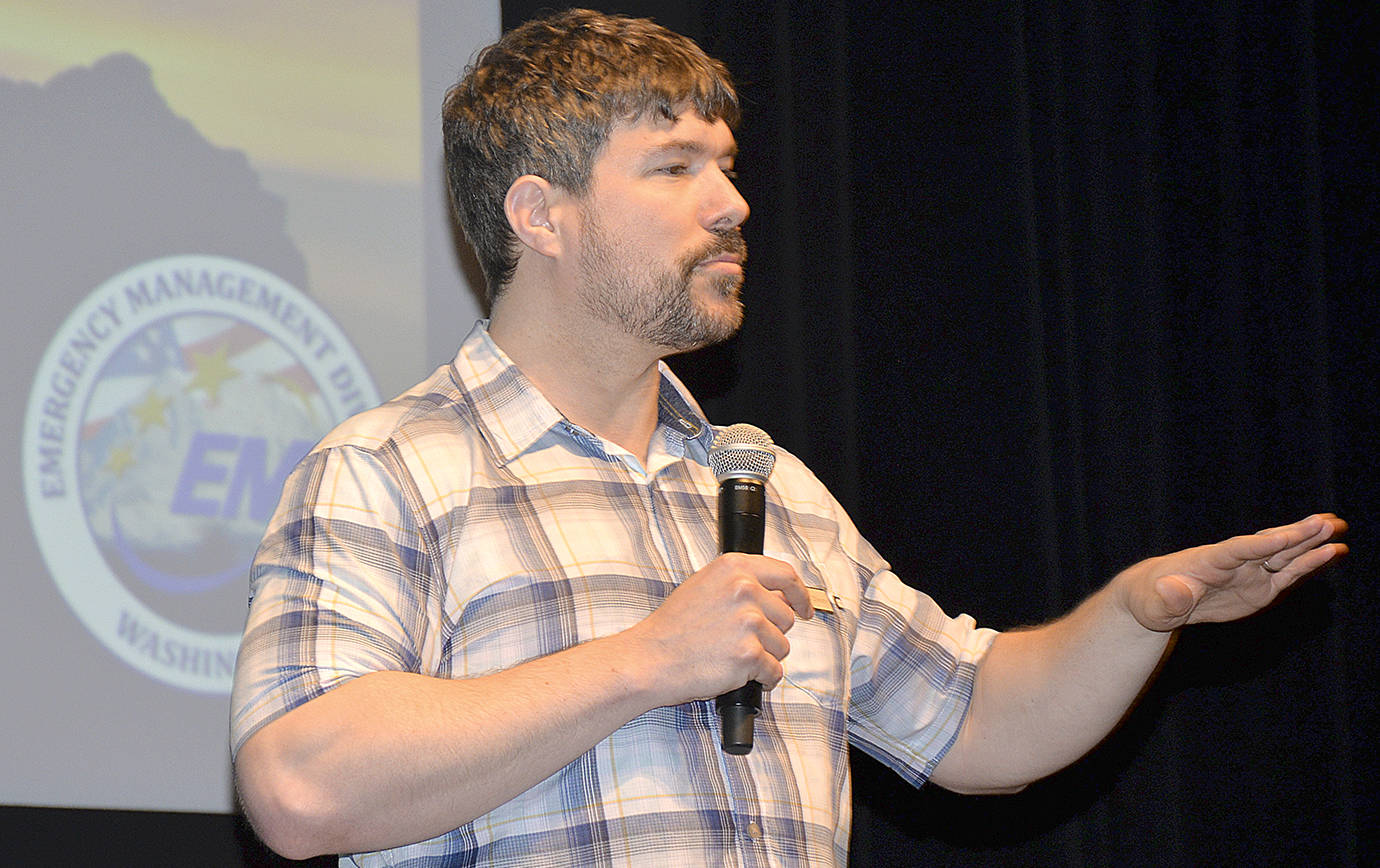
DAN HAMMOCK | GRAYS HARBOR NEWS GROUP Washington State Emergency Management Division earthquake program manager Maximilian Dixon talks tsunami and earthquake preparedness at the Tsunami Road Show in Aberdeen Wednesday.
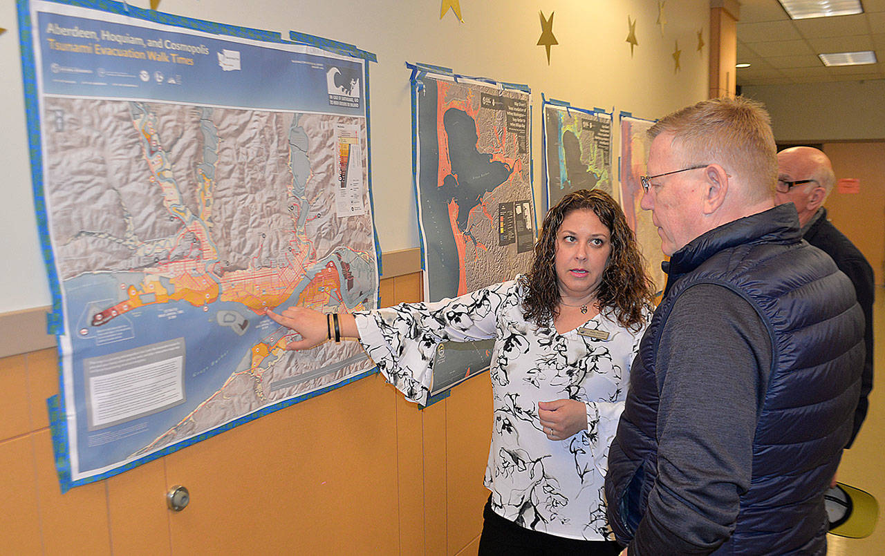
DAN HAMMOCK | GRAYS HARBOR NEWS GROUP Keily Yemm, Tsunami Program Coordinator with the Washington State Military Department, shows the recently updated walking time tsunami evacuation route map for Aberdeen to Grays Harbor County Commissioner Randy Ross.
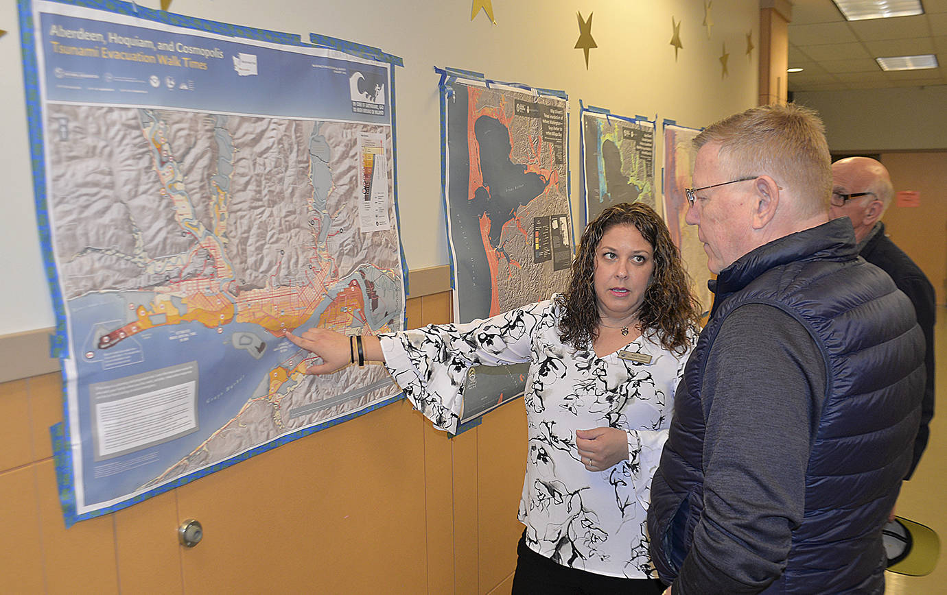
DAN HAMMOCK | GRAYS HARBOR NEWS GROUP Keily Yemm, Tsunami Program Coordinator with the Washington State Military Department, shows the recently updated walking time tsunami evacuation route map for Aberdeen to Grays Harbor County Commissioner Randy Ross.

DAN HAMMOCK | GRAYS HARBOR NEWS GROUP People who attended the Tsunami Road Show presentation at Aberdeen High School Wednesday took home a variety of free information on how to prepare for and survive a disaster.
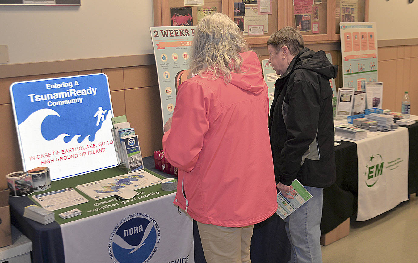
DAN HAMMOCK | GRAYS HARBOR NEWS GROUP People who attended the Tsunami Road Show presentation at Aberdeen High School Wednesday took home a variety of free information on how to prepare for and survive a disaster.